Living Near the Coast
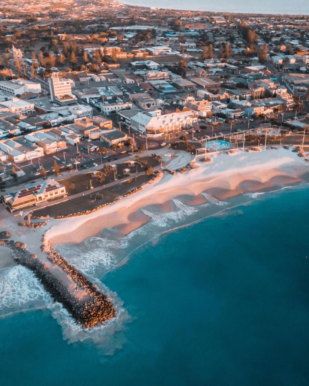
Geraldton is a coastal City that offers its residents all the social, recreational, environmental and economic benefits of living and working near the ocean. However, all of Australia’s coastal communities are vulnerable to coastal erosion and inundation as a result of major storm surges, storm tides and sea level rise.
Coastal Erosion and Inundation
To better understand the impacts coastal erosion and inundation will have on our City, including the effects of potential climate change and sea level rise, four studies were undertaken for the coastline extending from Cape Burney in the south to Drummond Cove in the north. These studies identify coastal areas and assets that are at risk to erosion and inundation over the next 100 years.
Coastal Adaptation Planning
To help us adapt to these risks the City has developed a Coastal Hazard Risk Management Adaption Plan (CHRMAP).
More information on the Geraldton CHRMAP Report here
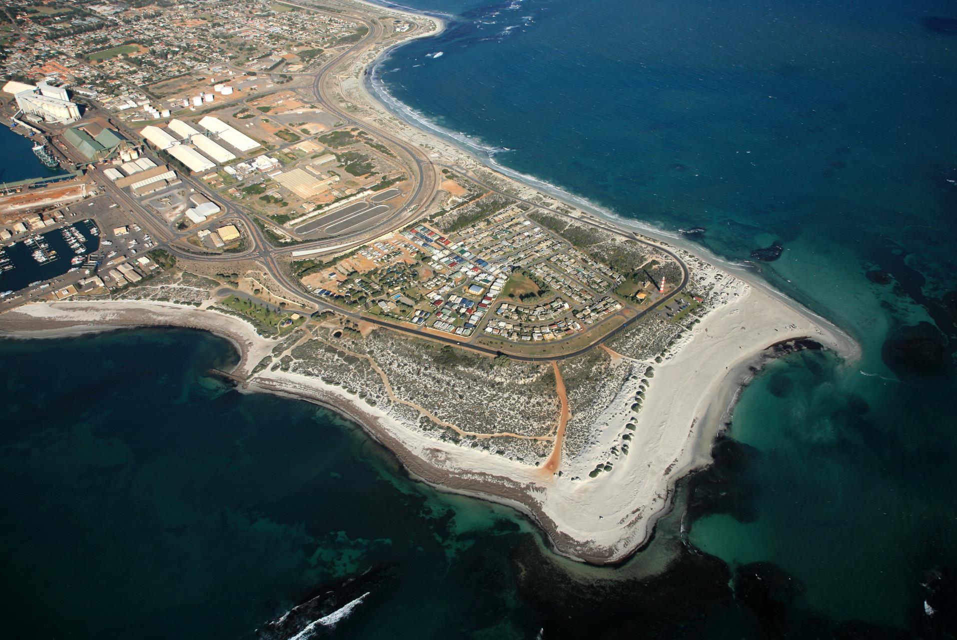
Point Moore
Point Moore is a popular tourist destination. It is located on a peninsula surrounded by beaches on three sides and features the City's iconic lighthouse.
It is also home to the Point Moore community whose residents live in an older, small cottage settlement on leased land.
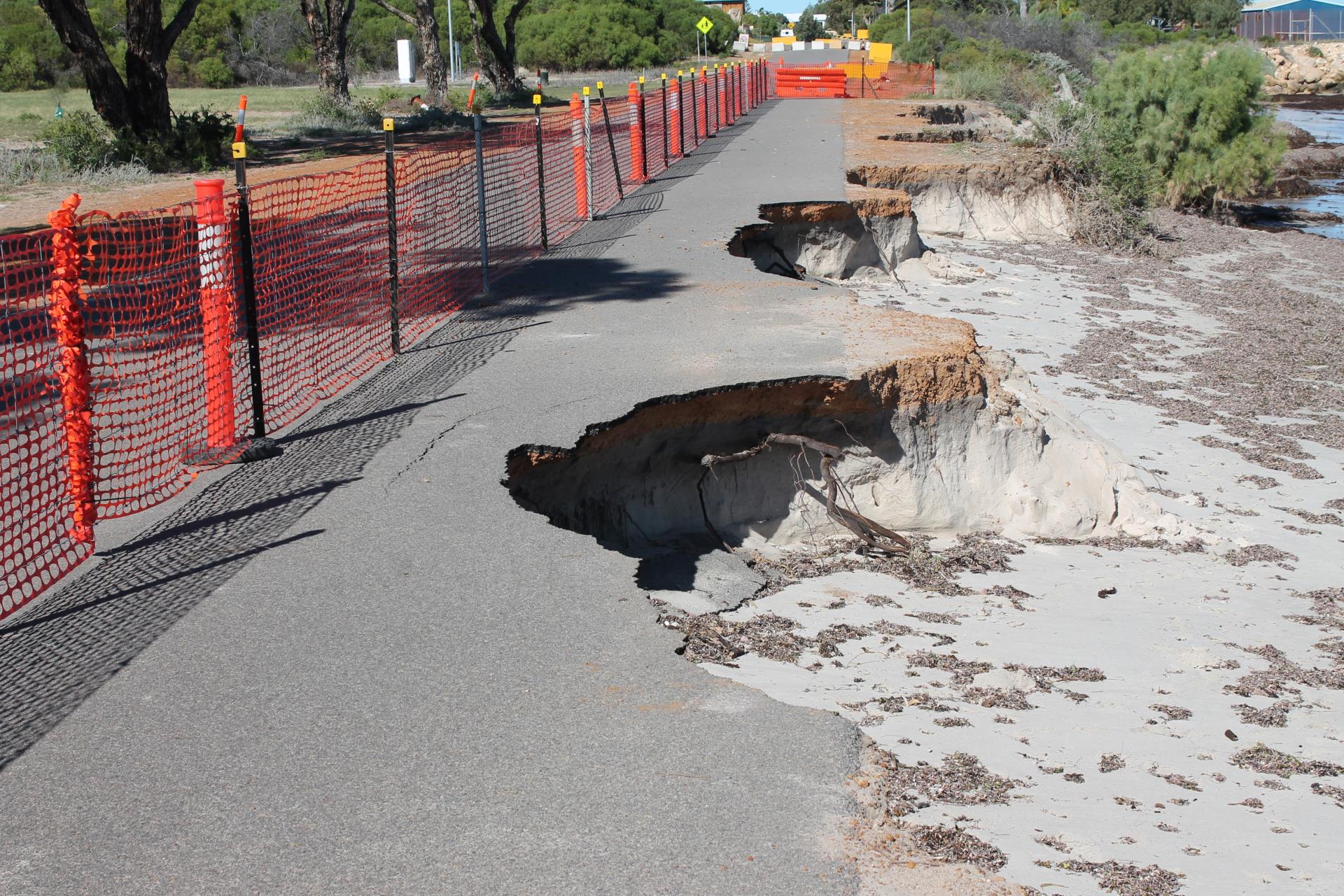
Coastal Processes
The coastline at Point Moore is dynamic, the beaches are subject to seasonal and multi-year accretion (build up) and erosion patterns. Read more about these process here
Deep Sewage
As deep sewerage was not available in the area at the time the cottages were built, residents use septic systems to dispose of waste water. To gain a better understanding of the impacts the aged septic systems are having on the local environment, public health and the degree to which they comply with current legislation and guidelines the City undertook the Point Moore Residential Onsite Effluent Treatment and Disposal Study.
Read the results of the Residential Onsite Effluent Treatment and Disposal Study here