Geraldton CBD Flood and Inundation Study
The Geraldton CBD was identified in the Geraldton Coastal Hazard Risk Management and Adaptation Plan (CHRMAP) as being at risk from flooding and coastal inundation over the 100-year planning time frame.
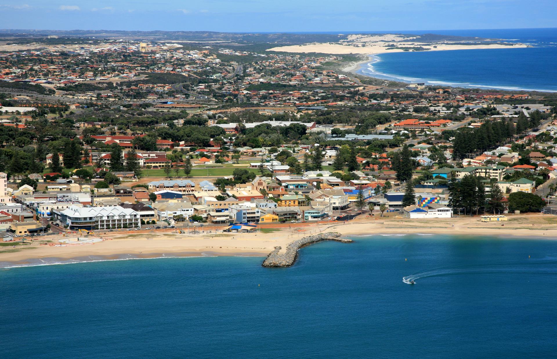
In 2020, the City engaged Cardno to undertake a detailed overland flood study to more appropriately define current and future flood levels throughout the Geraldton Central Business District and also, Beachlands, and West End. The flood study provides improved understanding of flooding impacts for planning purposes and assesses the options for flood control and emergency management. It incorporates key processes including coastal water levels and wave forcing, vegetation and surface roughness, high resolution ground and building elevation data, rainfall on grid and drainage infrastructure.
The City received $50,000 in funding through National Disaster Resilience Program grant to complete the project. It collaborated with the Mid West Ports Authority to incorporate the Port land area into the study. The Geraldton CBD and Port Flood Inundation Study comprises three reports:
- Project Modelling
- Emergency Management
- Stormwater Infrastructure
Project Modelling Report
This Project Modelling Report outlines the technical foundation of the assessment of the flood and inundation hazards in the City of Greater Geraldton coastal zone, including the Port of Geraldton and the suburbs of
West End, Geraldton and Beresford. The flood and inundation hazards assessment considered a range of processes including rain, storm tide (including wave set-up and overtopping) and tsunami. Three design events (i.e. 20yr ARI or 5%AEP, 100yr ARI or 1%AEP and 500yr ARI or 0.2%AEP) and three timeframes (i.e. 2030, 2070 and 2110) with allowance for mean sea level rise.
Modelling results indicate that:
- During the rain events, isolated locations within the study area are inundated by flood waters up to 2m deep. These are generally confined to drainage features and inlet locations. Some locations shown are where basement carpark entrances have been captured in the terrain survey or where terrain filling has introduced localised ponding. Typically, depths on land during the 500yr ARI rain event are less than 0.5m with flow paths typically confined to road reserves and existing drainage reserves/park areas. Furthermore, of those residential properties that are impacted by flooding, depths are generally less than 300mm.
- The most significant coastal inundation hazards are attributed to storm tide & rainfall events and wave overtopping.
- Residential areas in West End become inundated during the 20yr ARI event, with depths increasing to approximately 2m in the 500yr ARI. Foreshore street in Zones A and B are inundated by flood depths of up to 1.8 m during the 500yr ARI event. During this event, a significant number of residential and commercial properties are inundated.
- Wave overtopping rates at the extraction locations during storm tide exceed limits of tolerable discharges provided in overtopping guidelines for pedestrian, and vehicles safety and damage to building and defence structures
Read the Project Modelling Report here
Read the Project Modelling Report Maps here
Emergency Management Report
An assessment of the flooding risks for Geraldton has been undertaken to determine which type of flooding investigated results in the greatest risk to the City. This assessment comprised of a likelihood/consequence matrix, comparing the 2030 1% AEP event for each of the different mechanisms of flooding Geraldton is subject to including flooding based on rainfall, storm tide and tsunami influences. This plan has been developed for the storm tide event
The report identifies the hazard to people, vehicles, and buildings based on the Hazard Classes Australian Emergency Management Institute and ARR2019. The report will assist in emergency response to flood and inundation events.
Read the Emergency Management Report here
Stormwater Infrastructure Report
As part of this study a high level infrastructure management plan for the Geraldton CBD was developed. The Infrastructure Management Plan has been developed for the 2110 Climatic conditions. This will allow for the increase in rainfall that is expected to occur between the present day and 2110 to be considered during the planning for future works. Furthermore, this assessment has been undertaken on the storm tide event.
The report identifies key areas where pipe upgrade and overland flow paths. It also identifies floor levels for buildings – for planning purposes
Read the Infrastructure Report here