Weed Management on City Lands
Natural Areas
The management of the City’s reserves or natural areas is undertaken by the City’s Environmental Officers, with the primary goal being to protect the environmental, recreational, and cultural values of these areas. All management is undertaken as with high importance placed on the four areas classified as ‘Premier’ sites: Chapman Estuary, Chapman River Regional Park, Chapman River Wildlife Corridor through Deepdale and Greenough River. Works undertaken within natural areas are mainly on priority weed such as Prickly Pear and African Boxthorn and include:
- weed control (manual, mechanical and chemical)
- perimeter maintenance
- post-burn maintenance
- revegetation for weed exclusion
Management should continue to focus on the premier natural areas, as this will allow for the most cost-effective protection of environmental resources. It should also, however, account for areas for which invasions are currently in the ‘prevention’ and ‘eradication’ and areas bordering premier natural areas or unimpacted areas, to avoid incursions and the establishment of new populations.
Regular monitoring of control areas will be required to evaluate the efficacy of and ongoing need for management actions. As likely the most regular users of natural areas, the local community can be utilised for monitoring purposes through ‘citizen science’ initiatives.
Read the City's Pest and Weed Management Framework here
The public can report observations of weed presence through the My Pest Guide family of apps. Whilst data obtained in this fashion is often subject to misidentification and human error, it can provide valuable data weed presence to be verified by qualified monitoring.
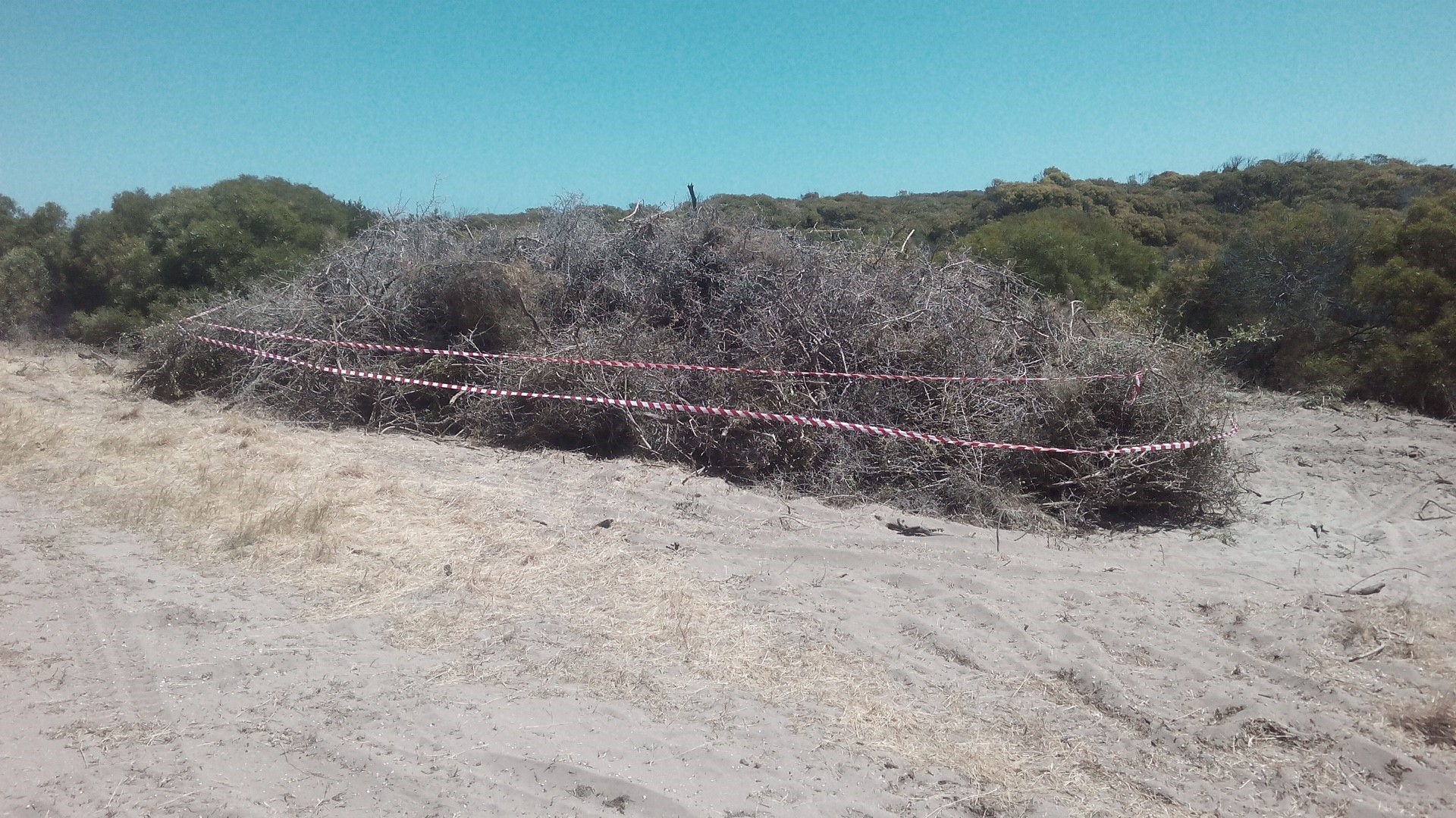
Photo: Dead Boxthorn for removal from the Greenough River.
Public Open Spaces
In addition to the Natural Areas the City manages numerous public open spaces, parks and road verges. Public open spaces are areas, both green and built spaces, of recreational and cultural land-use for the community. These can include areas of parkland, nature space, sporting areas and recreational facilities. Weed management is undertaken in the following areas:
- 4460 km of sealed and unsealed roads encompassing road reserves within urban and rural locations
- 75 ha of Active Reserves
- 318 ha of Passive Reserves
- 365 ha of Foreshore Reserves (including both built and natural).
These areas may be managed by a residential or commercial land developer for a period of time following development in accordance with a Development Application or by another party with agreement with the City.
Parks, reserves and public open spaces may include beaches and foreshore reserves which have a unique and high recreational value to the local community. Public open spaces are managed as per the City’s Public Open Space Strategy 2015. Within urban areas, verges are managed as per the You and Your Street Verge booklet.
The City has been trialling the use of steam, as an environmentally friendly way to control weeds. More here
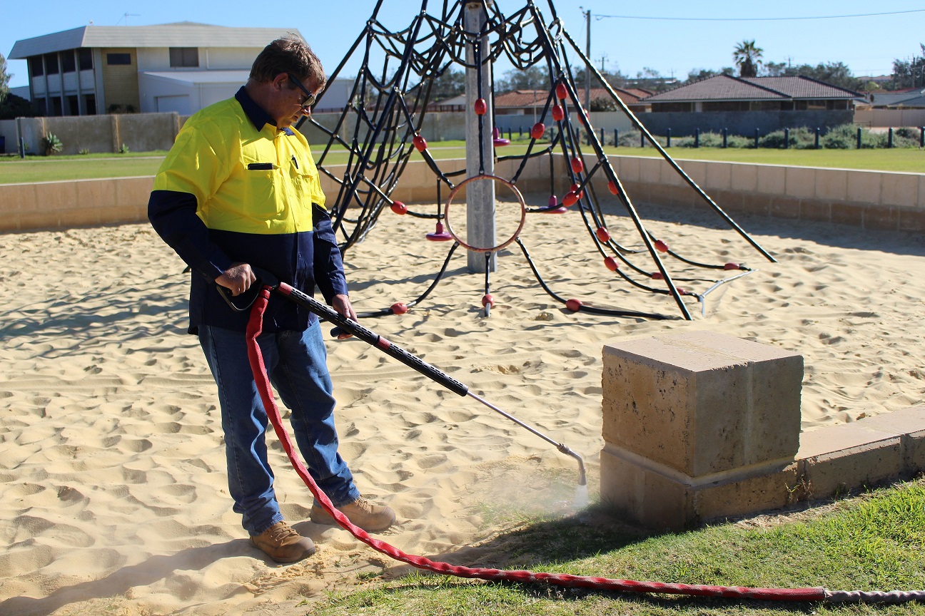
Photo: Using steam to control weeds.