Coastal Adaptation Planning Community Workshops and Survey
Coastal erosion along the City’s coastline is one of the biggest challenges facing our community which is why it is essential a plan is developed that provides long term adaptation pathways or solutions to effectively reduce the risks.
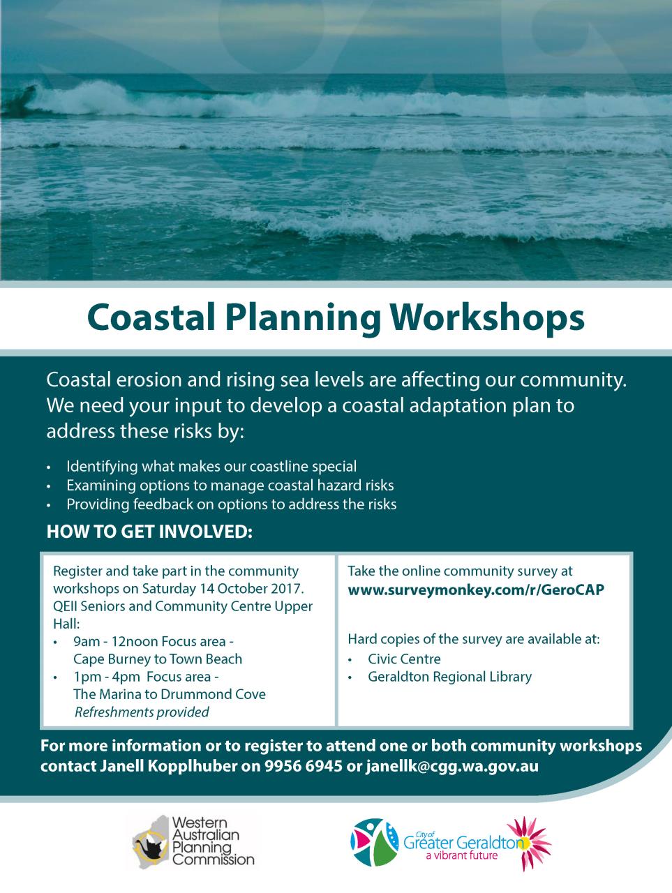
The first step in this process was to work together with greater Geraldton community to identify what makes our coastline special and examine options to manage coastal hazards when they arise. This involved an online survey and community workshop series.
Community Coastal Planning Survey
The engagement process began with the Community Coastal Planning Survey which was conducted from 2-23 October 2017. The aim of the survey was to:
- Identify coastal assets of community value (at risk from coastal erosion and inundation);
- Gain a better understanding of how the community values assets which are potentially at risk; and
- Gain an understanding of how the community rates the consequences of erosion and inundation on these assets.
Read the Coastal Planning Community Survey Report here
Community Coastal Planning Workshops
Two Community Coastal Planning Workshops were held on Saturday 14 October 2017 in the Upper Hall of the QEII Seniors and Community Centre. The objectives of the half-day long workshops were to:
- Identify coastal assets of community value (at risk from coastal erosion and inundation);
- Determine the coastal hazards scale of consequence for the identified assets;
- Define risk tolerances for the identified coastal hazard risks; and
- Provide feedback on proposed adaptation options that could address the risks.
Workshop 1 focused on the coastal area from Cape Burney to Town Beach and Workshop 2, focused on the coastal area from the Marina to Drummond Cove.
Read the summary Coastal Planning Community Workshops Report here
Read the full Coastal Planning Community Workshops Report here
View the workshop presentation here