Published on Tuesday, 19 February 2019 at 2:21:35 PM
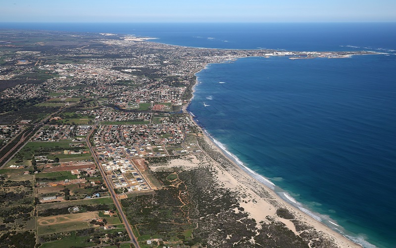
A seismic survey to assess the presence and extent of rock layers underneath coastal sands at Drummond Cove, Sunset Beach and Bluff Point will begin this week.
City of Greater Geraldton Mayor Shane Van Styn said the geophysical study of the northern shoreline is the first of a number of recommendations included in the adoption of the Geraldton Coastal Hazard Risk Management and Adaptation Plan (CHRMAP) Report.
“In November 2018, Council adopted the Draft CHRMAP Report along with recommendations to undertake additional studies and to seek formal advice from the State Government in respect to funding coastal protections works,” he said.
“The geophysical study of the northern shoreline is the first cab off the rank and will be followed by an overland flood study of the CBD, coastal monitoring of the Beach at Drummond Cove and investigating medium-term coastal adaptation options at Sunset Beach.
“Once we know the results of these investigations and have a better understanding of the State Government’s position regarding funding of coastal protection works, we can begin Stage 3 in the process of adapting to coastal erosion and inundation which involves developing a Local Coastal Planning Policy.”
Geophysical survey works will be carried out between Bluff Point and Drummond Cove from Thursday 21 February to Wednesday 27 February 2019. These works are funded via the 2018/19 CHRMAP Adaptation Measure Budget.
More information on CHRMAP is available here
Back to All News